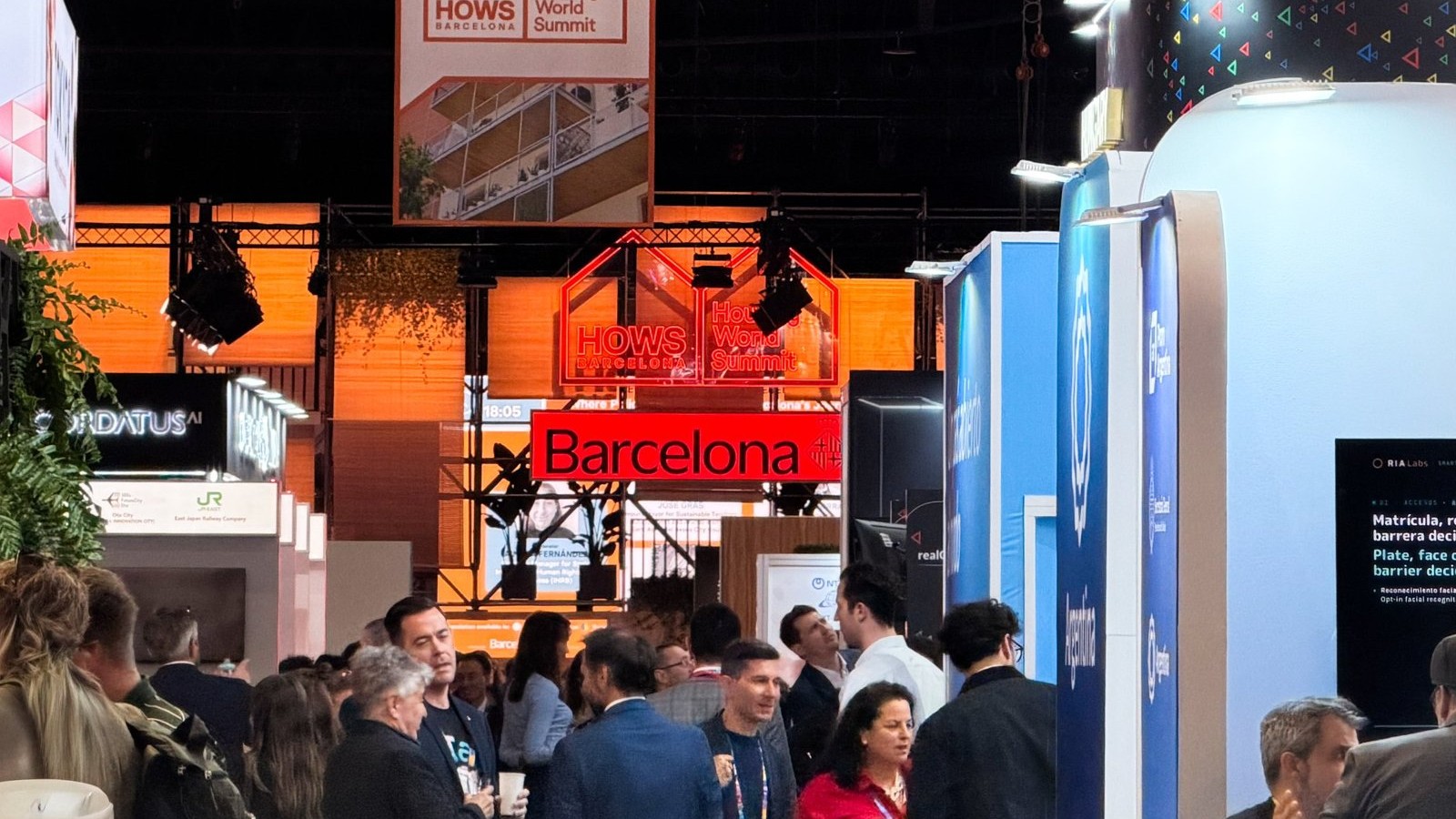
From November 3-5, 2026, Promet i prostor presented the pipGIS® platform at Smart City Expo World Congress in Barcelona, the world's leading event dedicated to smart cities. At its own exhibition area, the company's team showed live for three days to visitors from all over the world how cities, municipalities and infrastructure managers can consolidate all their spatial data on one interactive map.
About the project
Project "Expansion of the company's operations on international markets" is aimed at increasing the international visibility and competitiveness of the company Promet i prostor and on developing business contacts and opportunities on foreign markets through appearances at international fairs and conferences. The project is co-financed by the European Union from the European Fund for Regional Development.
- User
- Promet i prostor d.o.o.
- Project name
- Expansion of the company's operations in international markets
- Project code
- PK.1.3.10.0245
- Call
- PK.1.3.10 "Support to SMEs for internationalization"
- Program
- Program Competitiveness and Cohesion 2021. - 2027.
- Fund
- European Regional Development Fund (EFRR)
- Implementation period
- 2. 2. 2026. - 2. 2. 2028.
- Total value of the project
- 122.335,49 EUR
- Total eligible costs
- 117.986,99 EUR
- Grant awarded
- 88.490,24 EUR
Smart City Expo World Congress 2026
Smart City Expo World Congress, organized by Fira de Barcelona, brings together cities, public institutions and technology companies every year to search and develop solutions to urban challenges. This year, the fifteenth edition at the Gran Via exhibition area gathered 1.276 exhibitors, representatives of more than 1.000 cities and almost 30.000 participants from 140 countries.
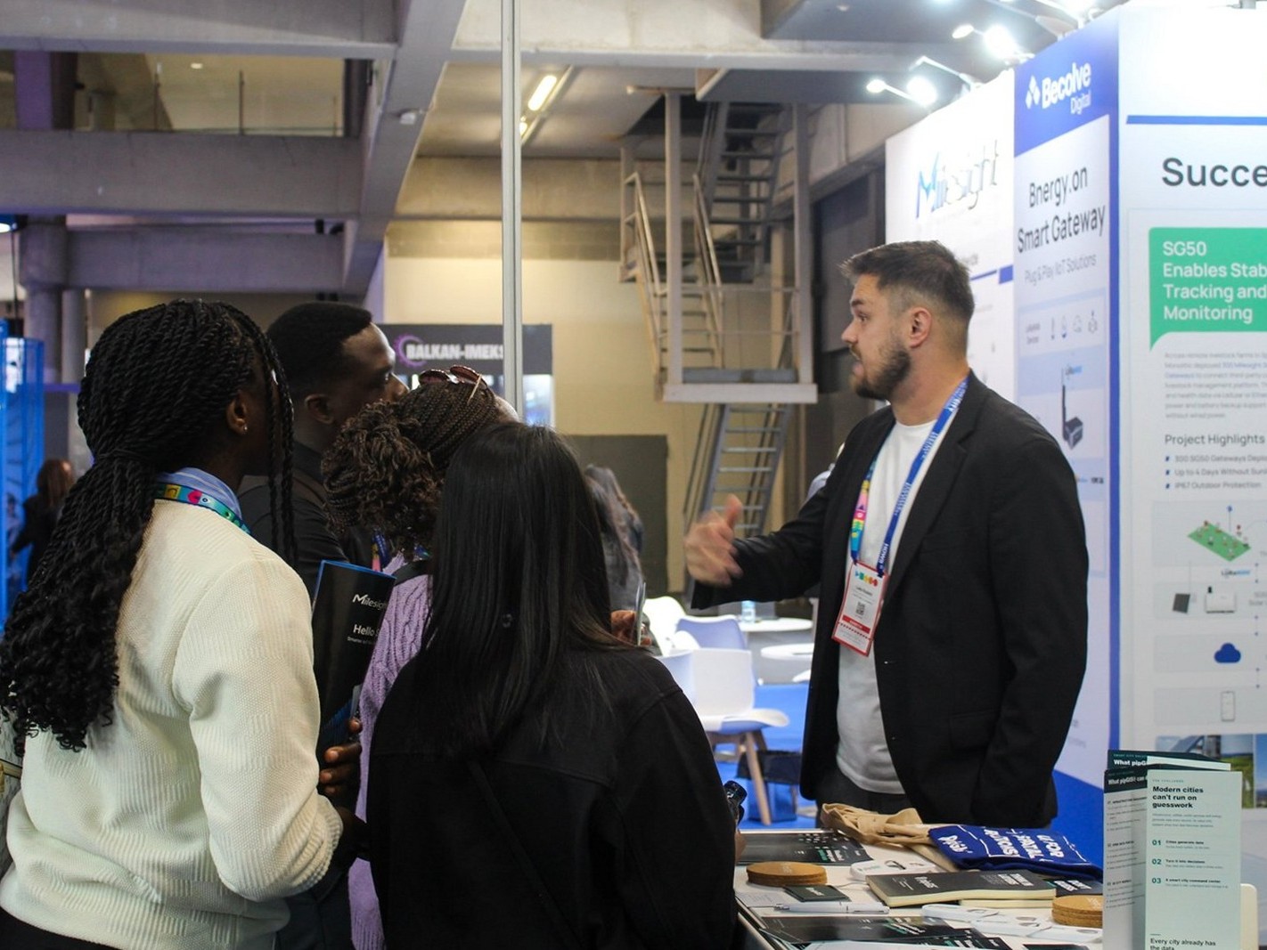
Conversation with visitors
The company Promet i prostor participated in the fair as an exhibitor with its own exhibition space, which was a meeting place with visitors, city representatives and technology companies during all three days. Along with talks and demonstrations, visitors were given promotional materials and flyers with an overview of the platform's key features.
„Urban Solutions, Real Impact“
The theme of this year's edition emphasized solutions that bring measurable results to cities - from mobility and housing to infrastructure management and digital transformation of public administration. It is in this context that pipGIS® shows how well-organized spatial data becomes the basis for effective planning, maintenance and development of cities.
„Map the present. Plan the future.“
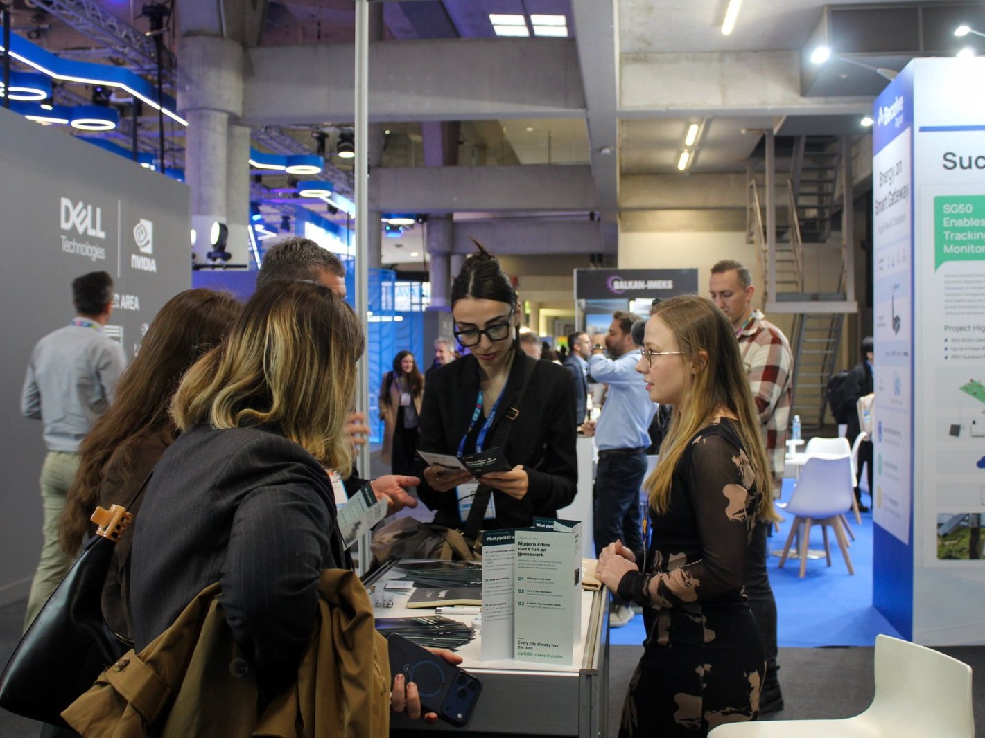
Visitors at the booth
About the pipGIS® platform
pipGIS® is a web GIS platform that Promet i prostor has been developing for the past ten years for local self-government units, cities and infrastructure managers. Today, it is used by more than a hundred cities and municipalities in Croatia, several county road administrations and a number of infrastructure companies.
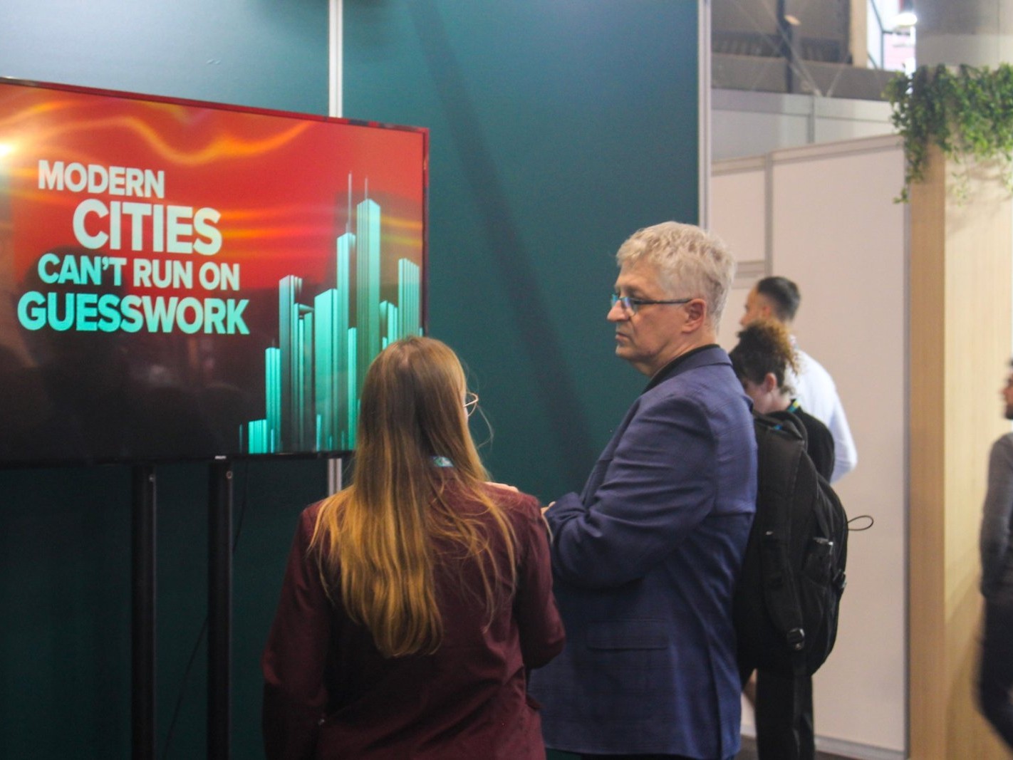
Showroom pipGIS®
The platform combines spatial data on one map - roads, land, buildings, communal infrastructure and associated documentation. It runs in a web browser, is based on open source, and the data remains owned by the user and can be exported in standard formats.
Platform demos
Demonstrations of the platform on laptops and displays were held at the booth. The visitors were shown infrastructure management, working with spatial data, 3D models and spatial analyses, and the publication of open data. Demonstrations are adapted to the interests of visitors - from municipal infrastructure management to spatial analysis for city planning.
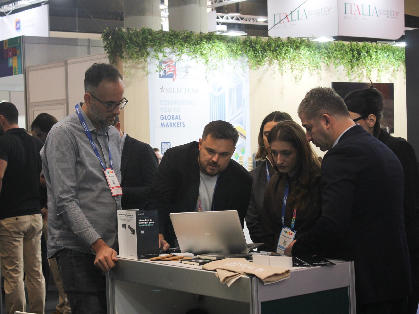
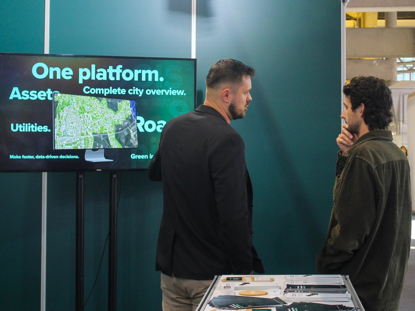
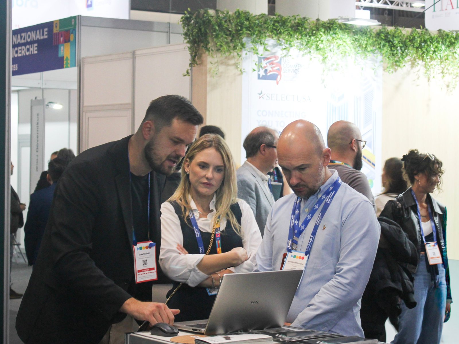
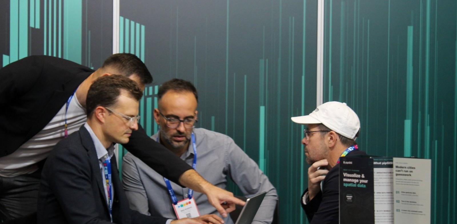
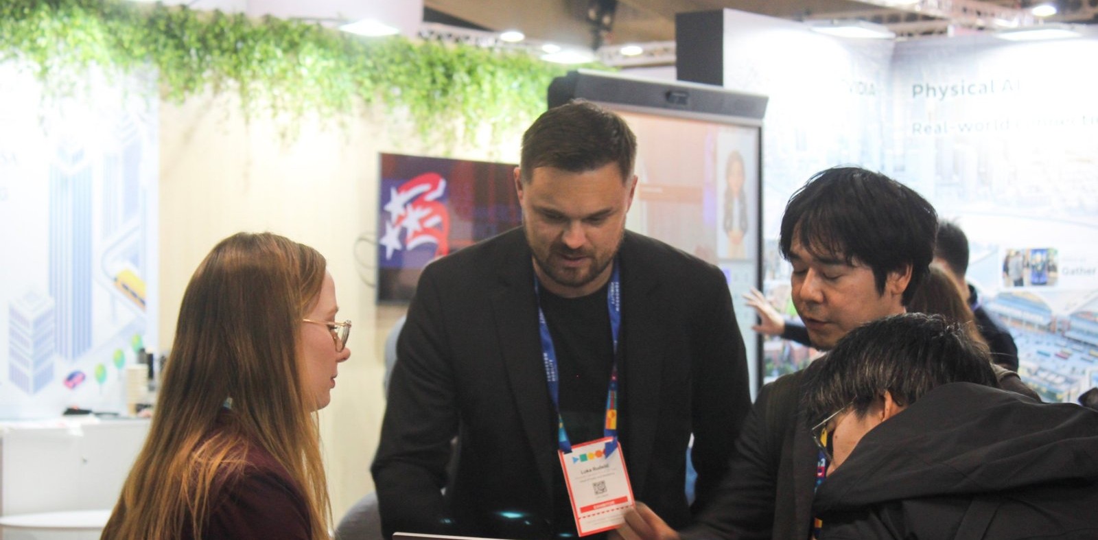
New contacts and networking
The performance was an opportunity for expert discussions with representatives of cities, public institutions and technology companies, and for establishing new business contacts with potential partners and users from all over the world. Visitors' contacts were collected by electronic scanning of accreditations, in order to continue communication even after the fair. In addition to their own exhibition space, team members visited exhibitors of related solutions in the field of mobility, traffic management and spatial data collection and exchanged experiences and contacts with them.
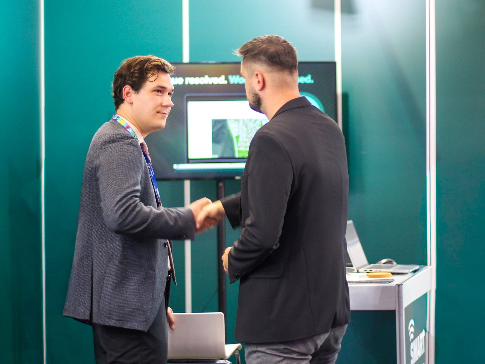
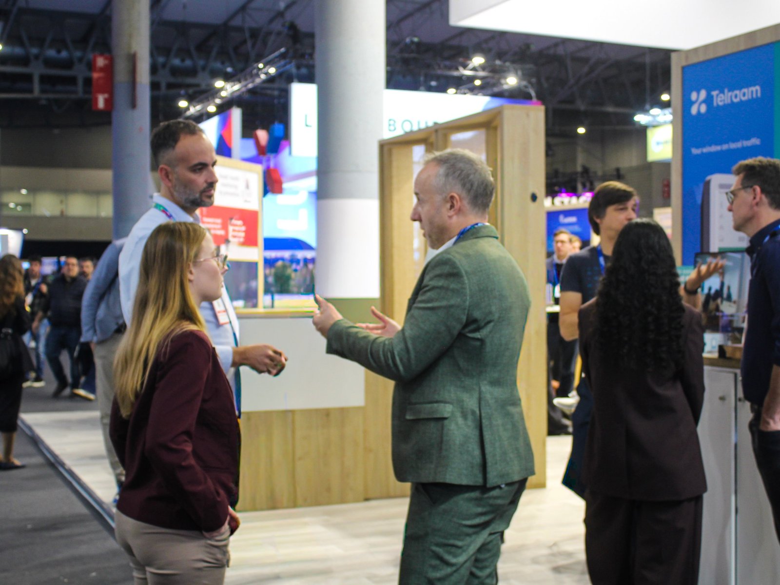
Business meeting at the booth and networking with exhibitors
Accompanying events
In addition to the main exhibition program, the accompanying congresses Barcelona Deep Tech Summit, HOWS Barcelona - Housing World Summit and Tomorrow.Mobility World Congress were held, dedicated to deep technologies, housing and the future of urban mobility.
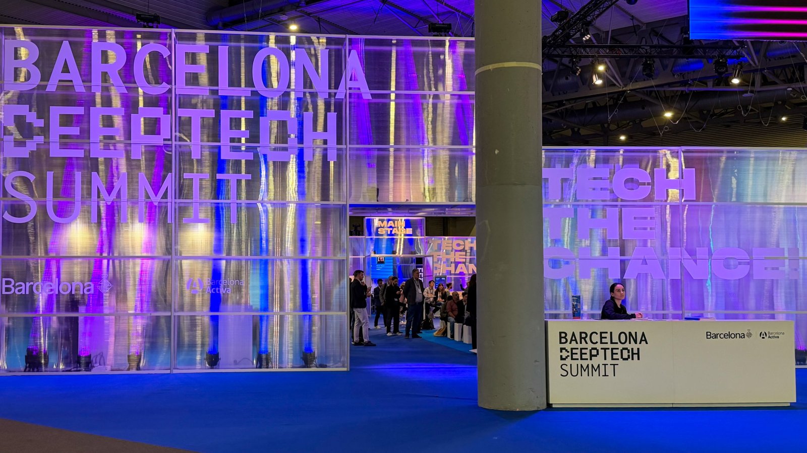
Barcelona Deep Tech Summit
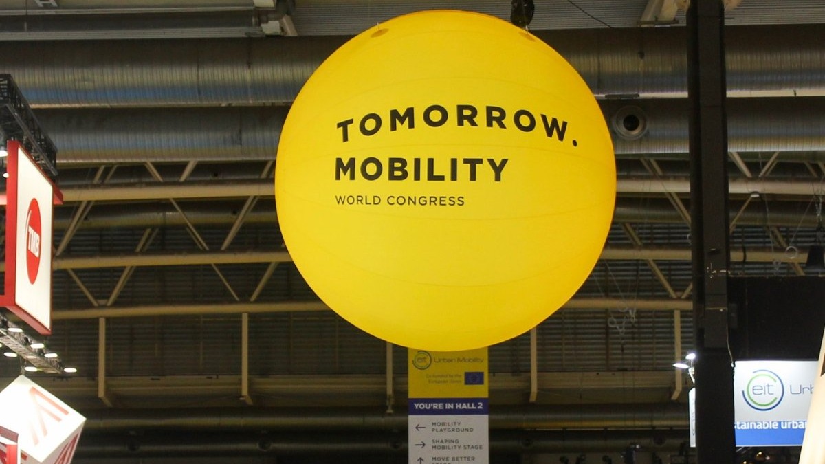
Tomorrow.Mobility World Congress
Nastup u Barceloni omogućio nam je da pipGIS® predstavimo međunarodnoj publici i uspostavimo nove kontakte s potencijalnim inozemnim partnerima i korisnicima. Nakon konferencije FOSS4G u Hirošimi, ovo je još jedan korak u jačanju međunarodne prisutnosti tvrtke i platforme pipGIS®.

The project "Expansion of the company's operations on international markets" (PK.1.3.10.0245) is co-financed by the European Union from the European Fund for Regional Development within the Competitiveness and Cohesion Program 2021-2027, Call "Support to SMEs for Internationalization" (PK.1.3.10).