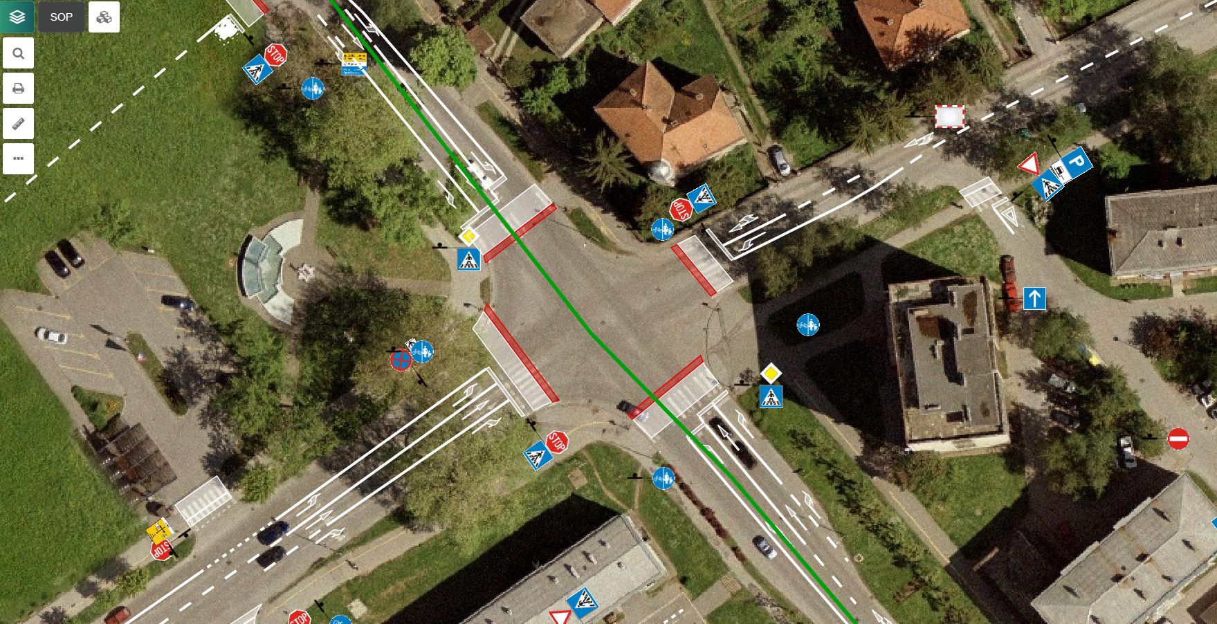
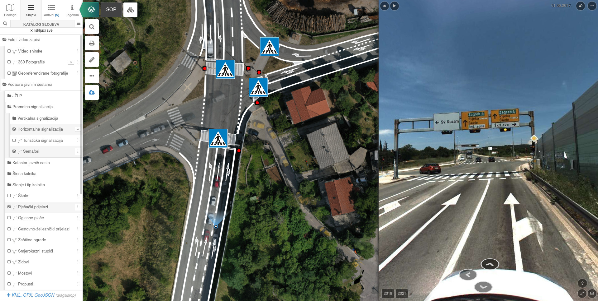
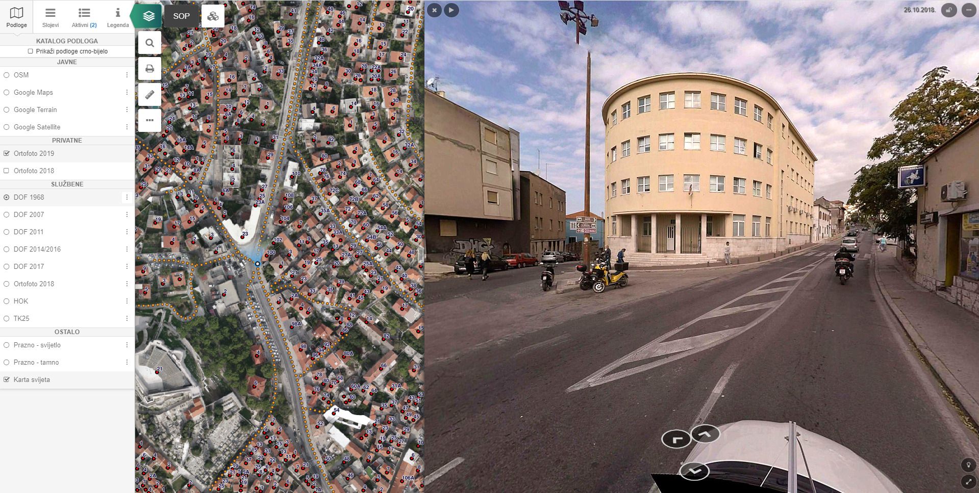
Transport infrastructure
Keep the entered traffic infrastructure database up to date with pipGIS® tools!
Selected solutions for visualization and data management
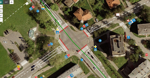
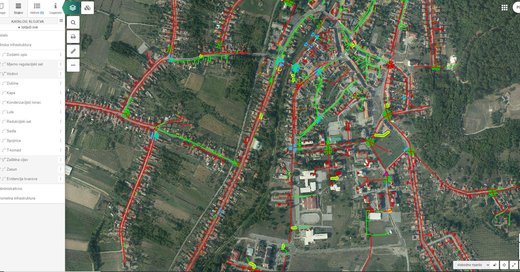
- Records of the entire transport infrastructure
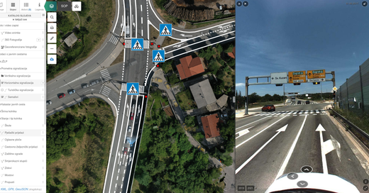
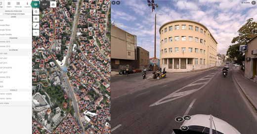
- Panoramic road surveying and production of georeferenced videos
- e-Ceste
- Coding (road object data entry)
- Measurement from videos
- Assessment of road condition
- Integration with cameras and sensors
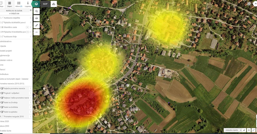
- Record of traffic accidents
- Development of traffic solutions and studies
- Traffic infrastructure maintenance system
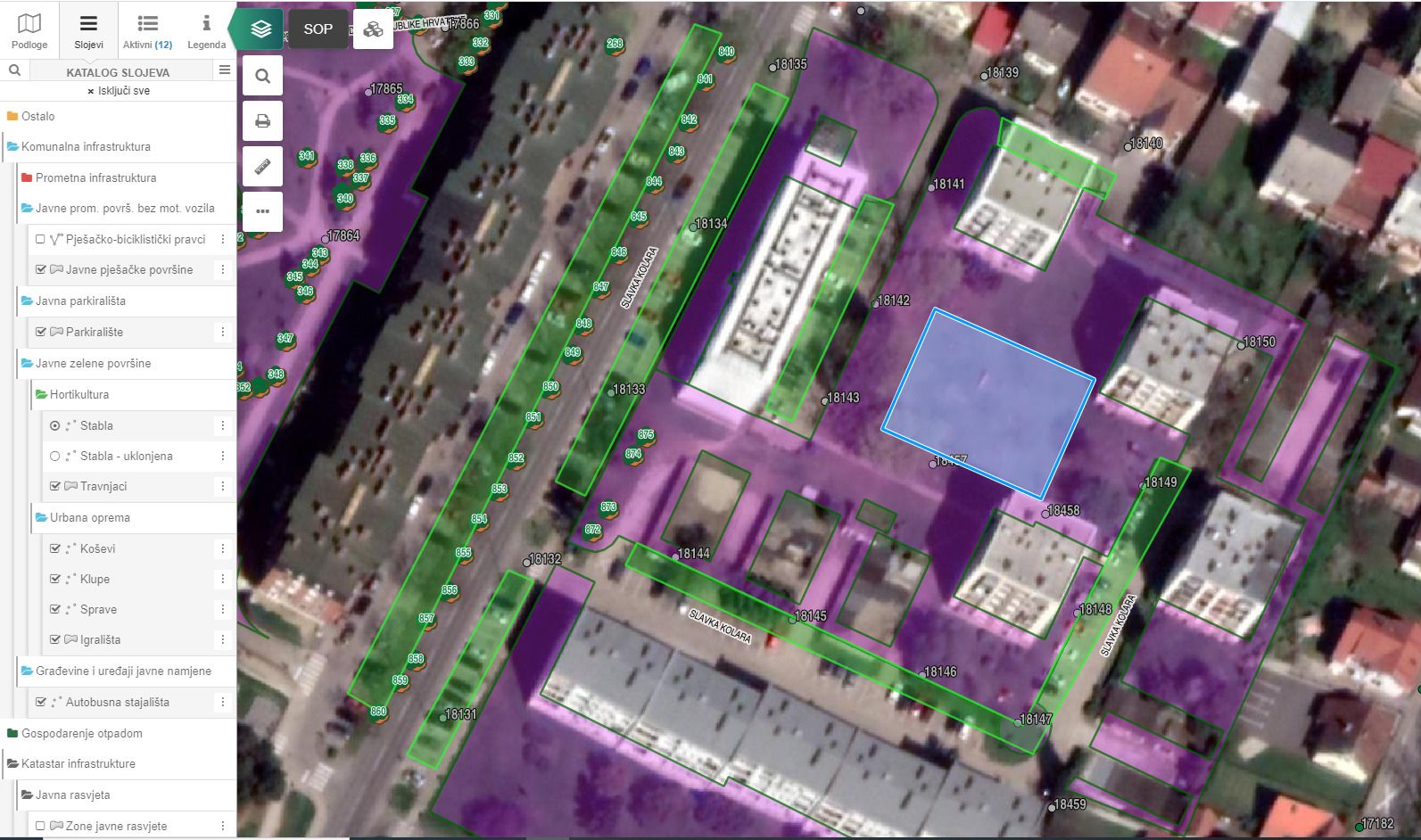
Utility infrastructure
Selected solutions for visualization and data management
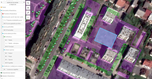
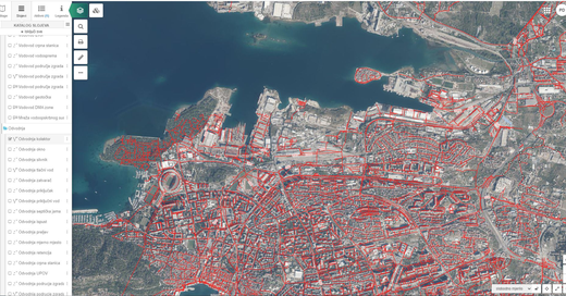
- Records of the entire utility infrastructure:
-
- unclassified roads
- public traffic areas where motor vehicle traffic is not allowed
- public parking
- public garages
- urban green spaces
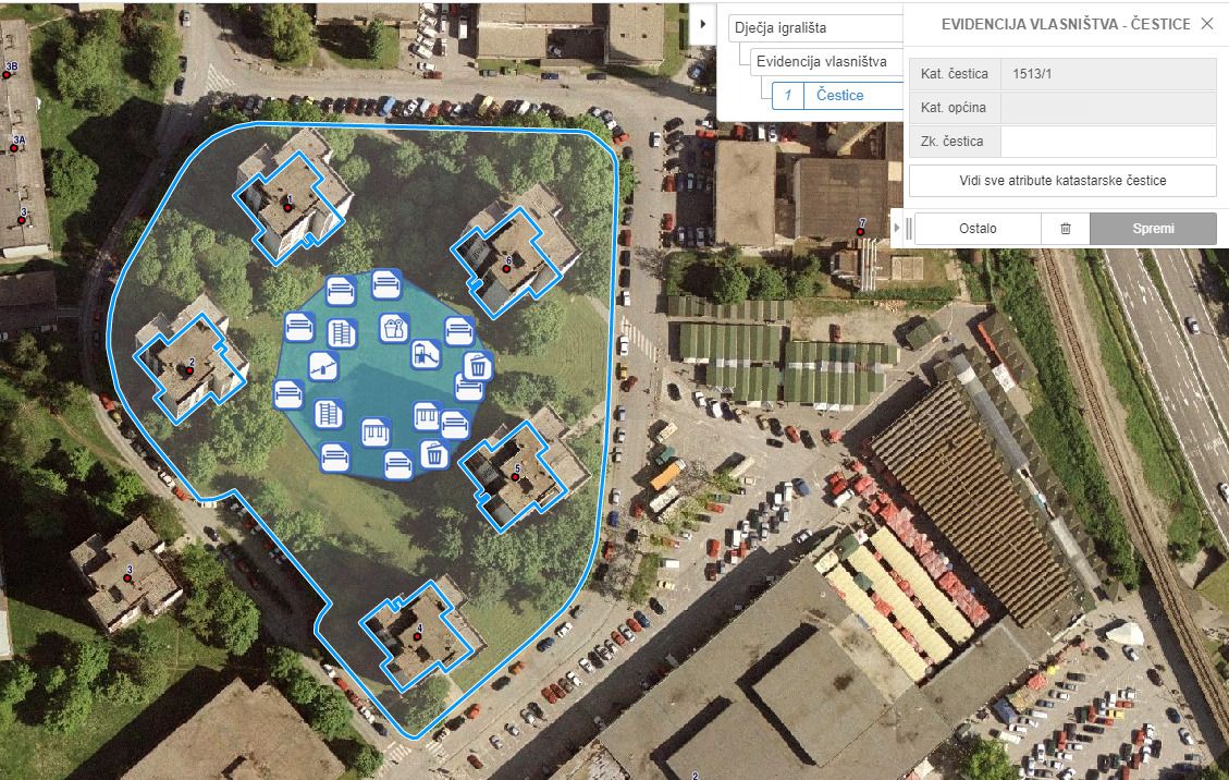
- buildings and public purpose devices
- public lighting
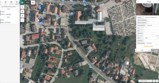
- cemeteries and crematoria in cemeteries
- buildings intended for public transport
*Soultion designed specifically for local self-government units and adapted in accordance with the law and applicable bylaws. (NN 68/18) and valid withdrawn acts.
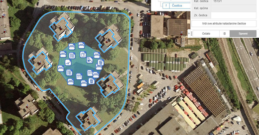
Infrastructure cadastre (line cadastre)
The module is intended for departments within the local self-government unit or economic entities.
The module can display:
- Electricity infrastructure
- Electronic communication infrastructure
- Hot water infrastructure
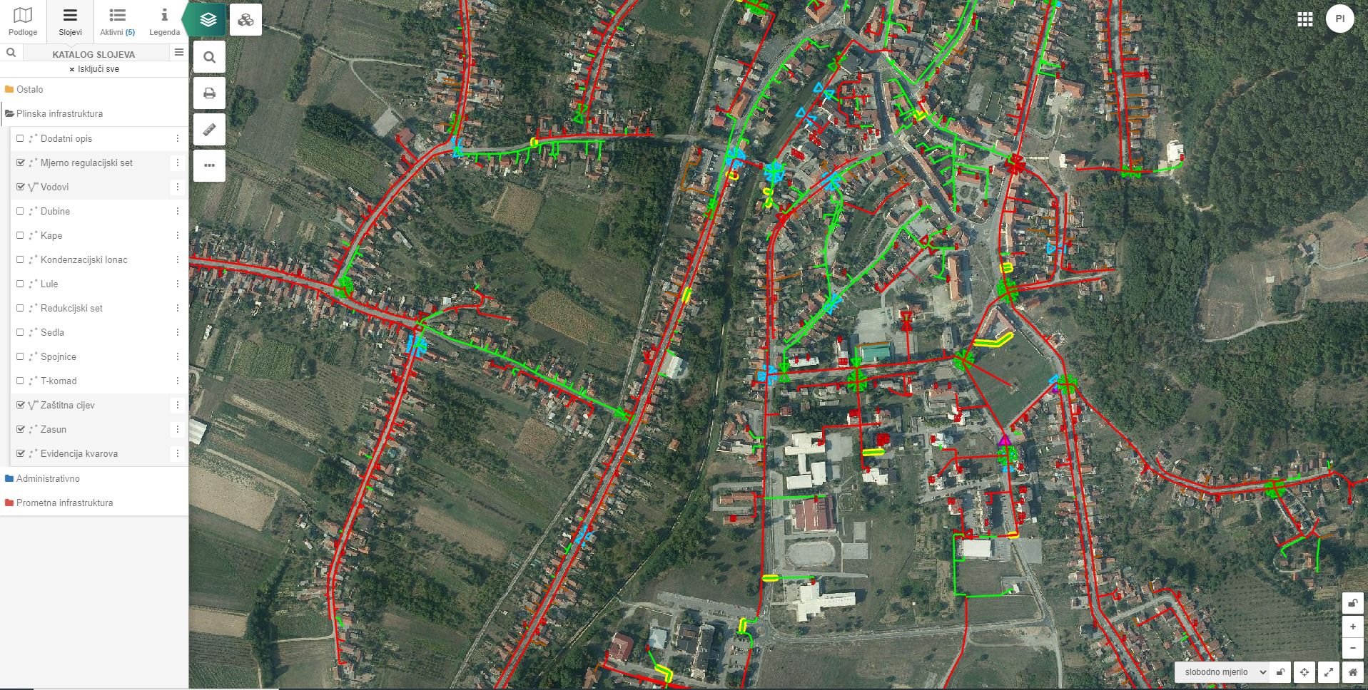
- Gas infrastructure
- Oil pipeline infrastructure
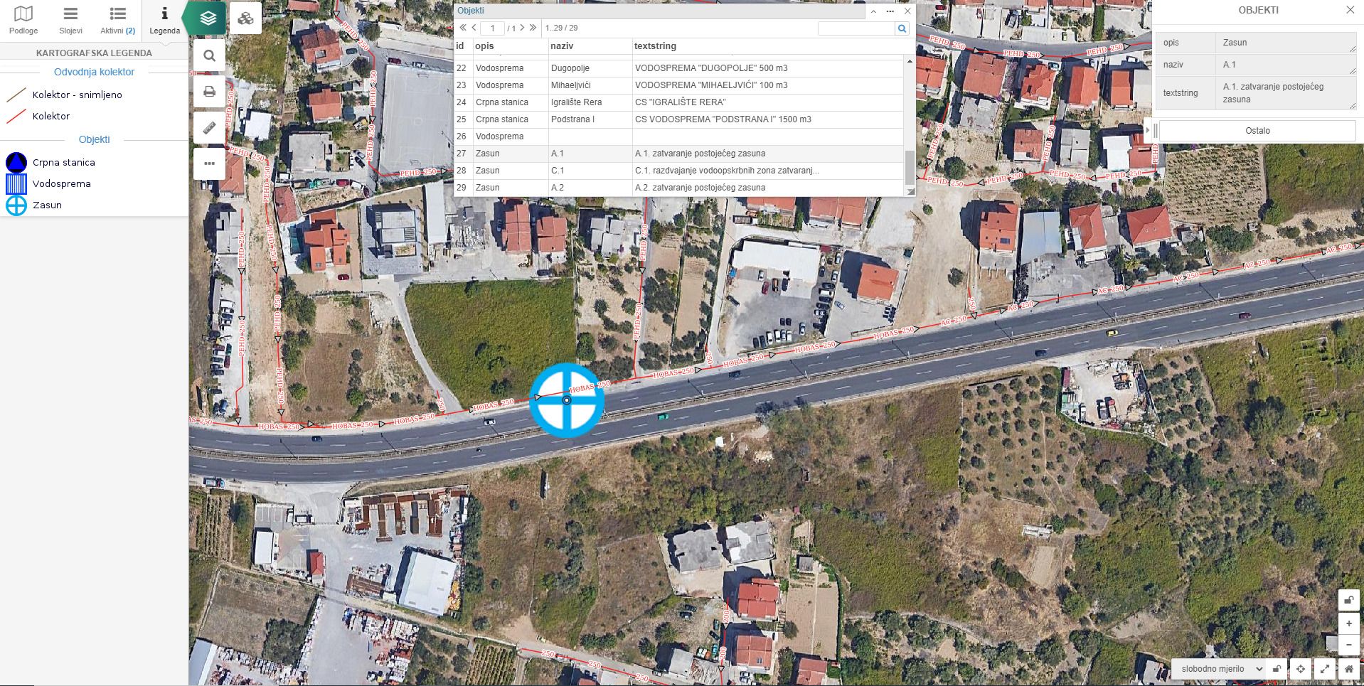
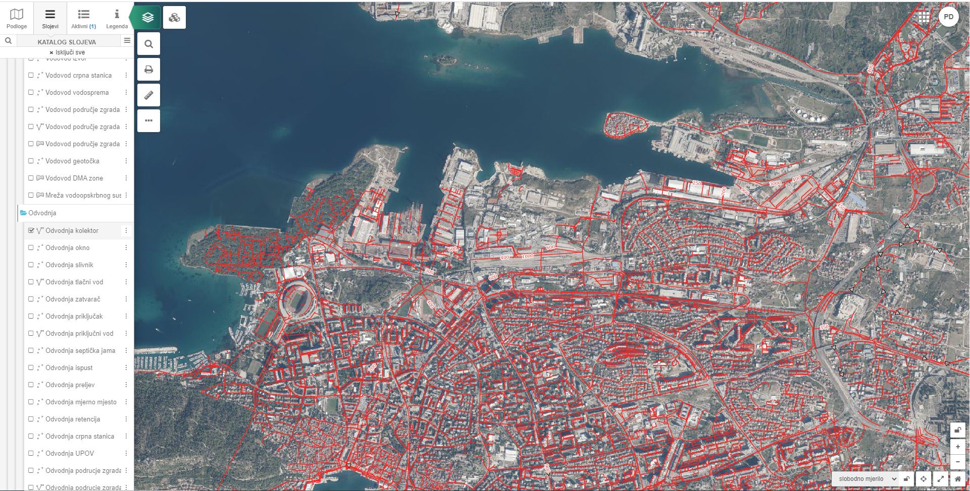
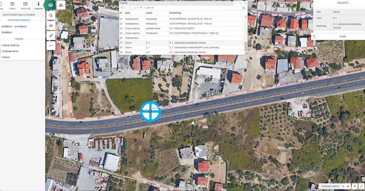
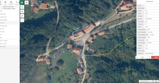
- Water supply and drainage infrastructure
The basic functional elements of the application are:
- Tools for recording malfunctions
- Integration with external systems and sensors
(gas sensors, meters, consumption accounting and billing, etc.) - Tools for measuring length and area
